COORDINATOR: Mike Wingham
DISTANCE: 70km
CUMULATIVE ELEVATION GAIN: 1400m
ANTICIPATED PACE: 15 km/hr overall, slower uphill on gravel, faster downhill.
DURATION: 6-7 hours total, 4.5-5.5 hours moving time
TYPE OF RIDE: Advanced gravel ride on 75% gravel, 25% clay. Ride is rated Advanced due to total elevation gain, a 4.2km/280m climb up to 10% grade on rubbly and rutted clay, and a 4.3km/320m descent up to 13% grade on rubbly and sometimes rutted clay. Steep and badly-rutted sections may be walked. Effort-wise, this ride is about equivalent to a 140km road ride.
TYPE OF BIKE: Recommended is a bike with at least 38mm-wide treaded tires and low range climbing gears, e.g. gravel or mountain bike. No eBikes please - due to the distance and elevation gain, it's unlikely that the battery would last the ride. If you believe otherwise, please contact me to discuss. If you'll be on pedals that require shoe cleats, the shoes should be MTB-style with a recessed cleat, since you may end up walking a fair bit. Much of the ride is inaccessible to standard vehicles, so make sure you have enough tools/spares for common bike repairs.
ADDITIONAL GEAR: We'll be in bear country, so bring bear spray! If you don't have any, let me know and I can probably lend you some. Bring lots of water! The only viable source of potable water along the route is a small creek at the 29km mark. I have never seen it dry, but can't guarantee it. I highly recommend treating it before drinking.
We will regroup at all intersections or at least every 15 minutes. No one will be left behind.
PLEASE ARRIVE 15 MINUTES PRIOR TO START TIME TO GET YOU AND YOUR BIKE READY
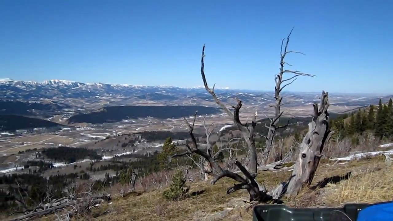
In my opinion, this is the premier gravel route in southern Alberta! Due to lots of clay surface, it's rarely dry enough to be in good condition, and when it is it's often extremely hot with little water sources en route. But based on the current weather forecast, it looks like conditions will be perfect! The ride may be changed or cancelled if the forecast changes.
We park 22km west of Claresholme on the right (east) side of Lyndon Creek Rd, about 100m N of its intersection with Hwy 520 (as soon as the shoulder is not too steep). There are no facilities here; it's best to stop in Claresholme on your way in.
https://maps.app.goo.gl/LhhPXCMNatoXeHkw9
This used to be the core of "The Range" gravel race - https://thegravelexperience.com/pages/routes_the_range. But because the clay sections were often in terrible condition on race day, about half of this route was removed from the race course.
From our start point we head NW on Lyndon Creek Road for 20km, gently climbing 350m through ranchlands along Lyndon Creek.
We leave Lyndon Creek and head into the Porcupine Hills, turning SW onto East Trout Creek Road for 17km. We follow a series of rolling hills and ridges with lots of great views, until we reach the intersection with Hwy 520. There are several ups and downs on this section totalling 700m of ascent and 470m of descent at grades of up to 10%. From here, there's an easy bail out back to the start via Hwy 520: 21km, 600m descent, 60m climb. But if you bail, you'll miss the best scenery and riding of the day: 32km, 840m descent, 290m climb.
The full route continues across Hwy 520 and heads SE on Skyline Road to near an old fire lookout. Skyline Road lives up to its name by having great views across the Foothills to the Rockies. It's 11km of rolling hills with 200m of ascent and descent. This is followed by a fantastic 9km ridgeline descent NE along East Sharples Road, dropping 400m to Hwy 520. We then follow Hwy 520 for 14km back to our start point with 50m of ascent and 225m of descent.